ADVERTISEMENT

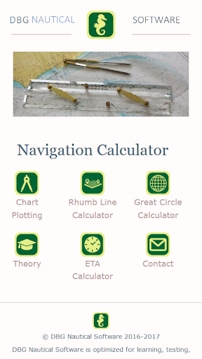
Navigation Calculator
Education
![]() 4.6
4.6![]() 100K+
100K+
Editor's Review
This app is your companion for all your chart work: it covers basic chart plotting problems, rhumb line calculations and great circle calculations. Whether you are a student, a teacher or a professional navigator, you will certainly benefit by using this app. Comprehensive help pages clearly indicate the data to be filled in, and expected outcomes.
All calculations are executed in a few seconds and you get a complete overview of the details step by step (ideal for checking your manual work) as well as a graphical representation of courses, speeds, distances and positions. You can calculate for different projections: Plane, Mercator or WGS84 (as used in ECDIS). See our theory section for more background on projections.
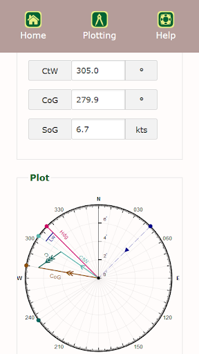
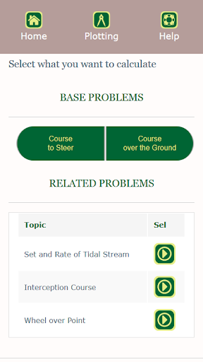
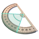
The chart plotting section treats the base problems: course to steer and course over the ground. Related topics were added like set and rate of tidal stream, interception course and wheel over point. All calculations have a graphical view, also clearly explained in the theory section.
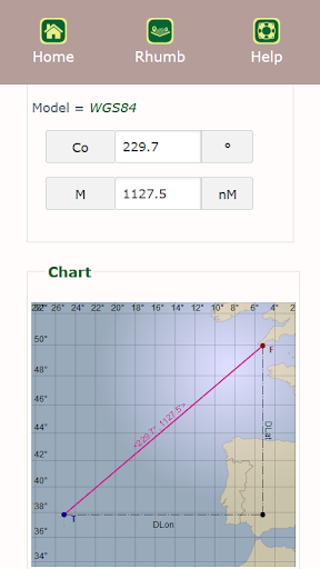
With the rhumb line (loxodrome) calculator you calculate course and distance between a departure position and an arrival position, or find the estimated position starting from a given departure position and a course and distance to go. The graphical representation is a real asset.
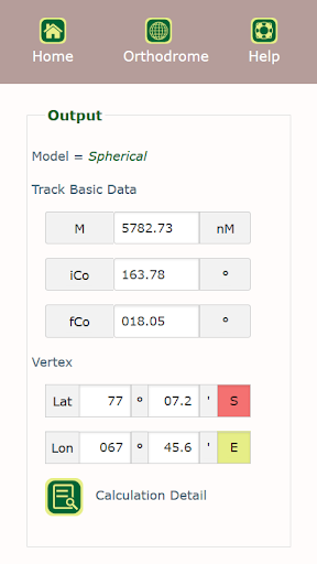
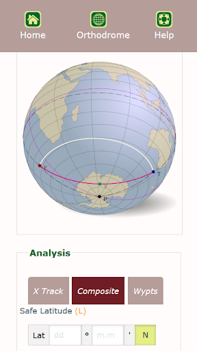
The great circle calculator (orthodrome) let’s you find the distance, initial course and final course between a departure and arrival position. It also calculates the vertex and performs some analysis: cross track analysis, safe latitude analysis and waypoint calculation along the great circle. The calculation details show different methods like ABC tables, Haversine and Napier. Read the help pages carefully.
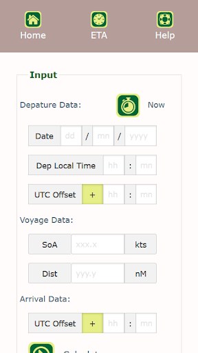
Finally with the ETA calculator you determine date and local time of arrival based on voyage data like speed and distance.
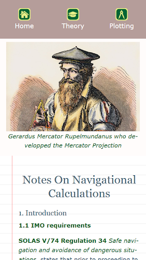
Our theory section is again a reference on nautical charts and on basic chart plotting. The introduction is about SOLAS and IMO requirements.
We hope this app will improve your daily work and efficiency!
By DBG Nautical team.
ADVERTISEMENT
Screenshots