ADVERTISEMENT
OruxMaps GP
Travel & Local
![]() 4.5
4.5![]() 100 mil+
100 mil+
Revisión del editor
You can use OruxMaps for your outdoor activities.
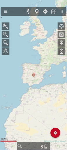
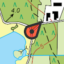
It is an Online and offline map viewer. With this app you can use different map formats, like GeoPDF from USGS store, GeoTIFF maps, .ozf2, .img garmin (vectorial, no full support is provided), .mbtiles, and others.
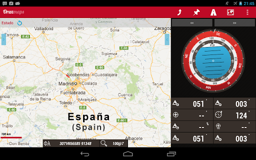
Online maps: You can use the application as a WMS and WMTS online map viewer. Download online maps for offline use. NOT ALL ONLINE MAP SOURCES ARE NOW DOWNLOADABLE. SELECT ANOTHER SOURCE IF YOU CAN NOT FIND THE OPTION TO DOWNLOAD A MAP.
NEW! Added featured Mapbox and Google online maps (subscription required).
You can register into OruxMaps servers, but it is not mandatory, the app will work without this step. If you register an account, the app will ask for various personal information, including an email account, date of birth, sex, weight and height. This data will be stored on an OruxMaps server, and will not be shared with any other user, person or company; they are only at your disposal. If you delete your account, that data is deleted from the server.
If you want to use the 'multitracking' option, the app will ask you to choose in your contacts the emails of the users with whom you want to share your position. The email of these people will be stored on the server, so you can share your position with them. These emails will only be used for this purpose. If you delete your account, this information will also be removed from the server.
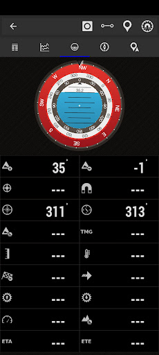
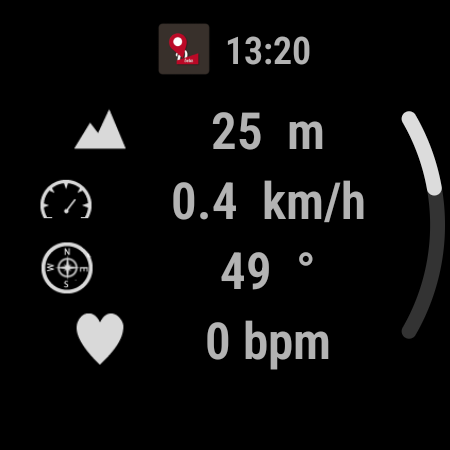
Support to multiple external devices, like external GPS, heart rate monitors, (including bluettoh smart 4.0 devices), bike cadence and speed, bike power, ANT+ (speed, cadence, heart rate, distance, cycle power, temperature).
It also can be used to control the tire pressure/temperaure.
And you can connect to AIS information systems for nautical sports, using Wifi, BT or USB.
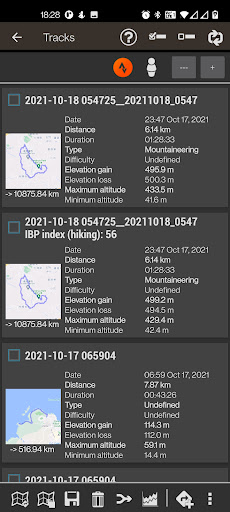
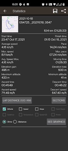
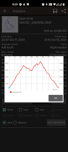
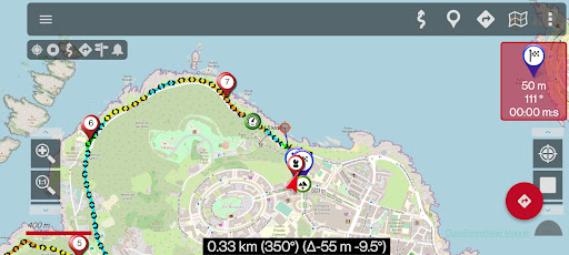
You can see Routes and Tracks in different formats, like KML KMZ, TCX, FIT, CSV, SHP and GPX.
Share your position with your friends, display the position of your friends in your device.
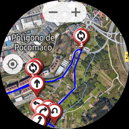
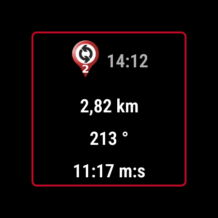
Follow routes, with different alarms to alert you if you are near a waypoint, or you are far from the route.
Geofence/exclusion zone alarms with KML/KMZ overlays.
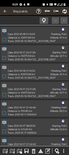
Create/save wayponits, attaching photo/audio/video extensions.
Custom Waypoint types, with your own icons. Attach forms to the Waypoints.
Basic support to Geocaching.
Correct the altitude of your tracks/routes using DEM files (offline) or online services.
Track editor tool. Modify track points (add, remove, move) if they are wrong.
Search/download tracks from different sources, like gpsies.com
Search or create tracks using online services from Graphopper or offline using Brouter app.
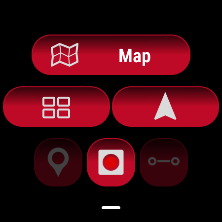
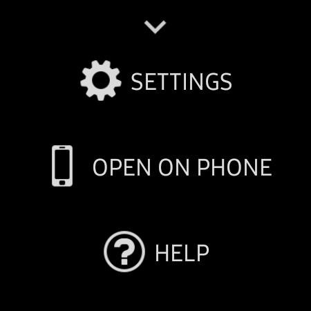
There is a version for Android Wear, which requires the phone/tablet app. With this version for Wear you can see the basic data and your position on a simple Google map.
More information on the website.
ADVERTISEMENT
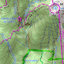
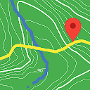
Capturas de Pantalla