ADVERTISEMENT

PointMan: GIS Data Collector
Maps & Navigation
![]() 3.9
3.9![]() 10 mil+
10 mil+
Revisión del editor
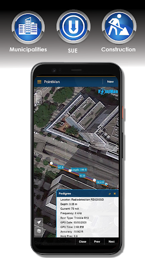
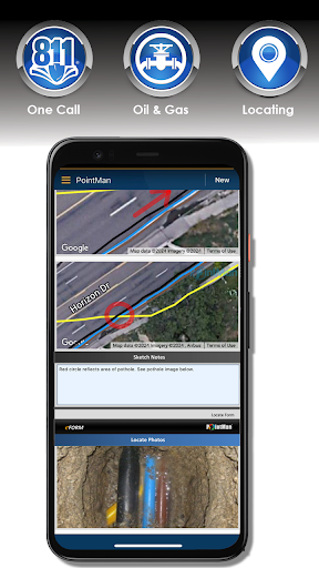
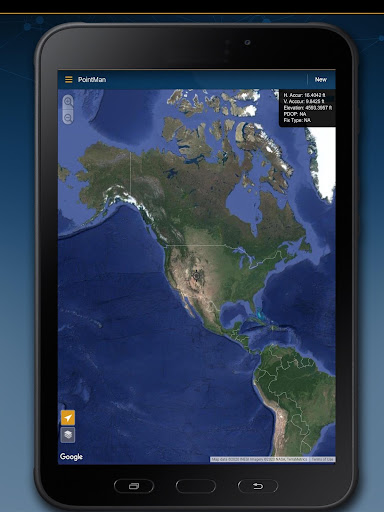
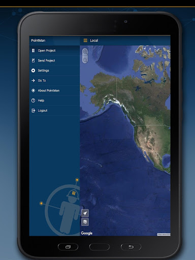
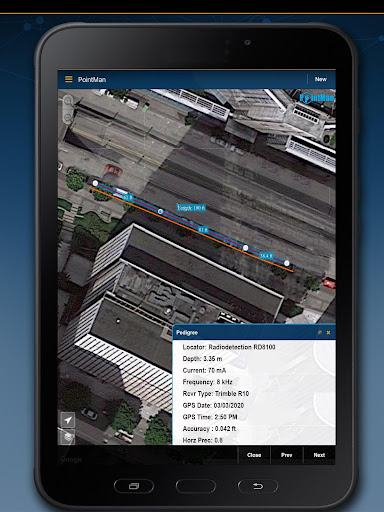
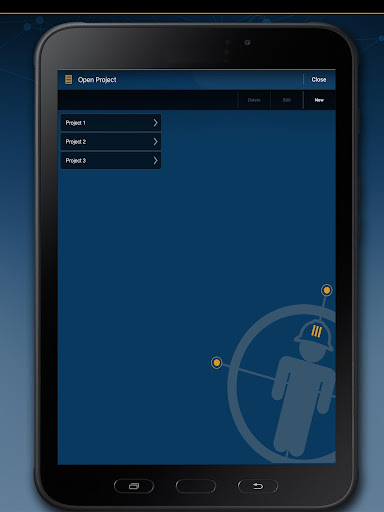
PointMan is a unique Precision Mapping Solution. Use PointMan Plus to help capture, record, and visualize the precise (x, y, z) location of critical surface & subsurface utility assets. PointMan's mobile app allows users to connect their mobile device with major GPS/GNSS, cable, and pipe locating equipment manufacturers to capture mission critical infrastructure data with unprecedented precision that includes; type, depth, accuracy, depth of cover, and precise geospatial location. PointMan can also create and bind forms, sketches, and photos to any point, line, or polygon and works in unison with mobile devices in order to display captured meta-data into a reliable mobile mapping software, all from the palm of your hand.
Upgrade to PointMan Pro to visualize, sync, and communicate meta-data captured by field personnel and make it immediately available for other office or field team members to view, in REAL-TIME. PointMan enhances captured-data security by working in unison between field equipment and mobile device, backing up critical asset data as it's being collected, and integrates it into an easy to use Precision Mapping Solution, viewable from any mobile device or desktop logged into PointMan Cloud Server, backed by AWS.
PointMan comes with a free 15 day trial of PointMan Plus features. After the trial period a one year subscription must be purchased to continue using the Plus features.
Plus features include:
Data Dictionary
Precision and Pedigree attributes
Differential correction
Export to Shapefile, CSV, and PDF
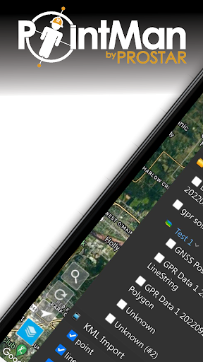
Import from Shapefile and KMZ
Locate PDF form
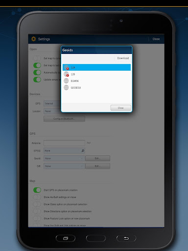
Geoid correction
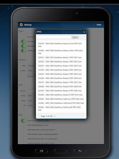
Datum/EPSG collection
Multi-Feature Collect (e
ADVERTISEMENT
Capturas de Pantalla