ADVERTISEMENT
Vaarkaart Friese Meren
Travel & Local
![]() 3.5
3.5![]() 50 mil+
50 mil+
Revisión del editor
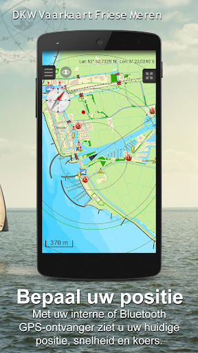
The perfect chart for sailing on the Frisian lakes. This chart is made for boat renters, skippers and crew of sail boats, motor boats and barges. Also recommended for canoes and fishers.
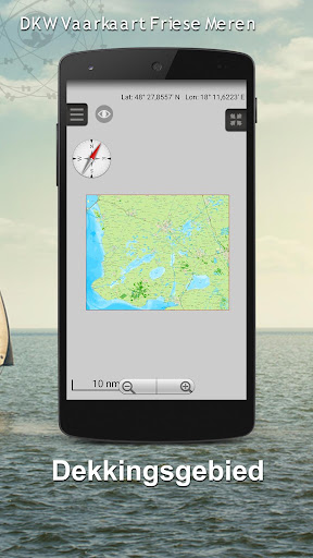
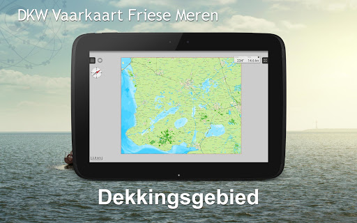
Area
From Stavoren to Grouw, with the following lakes:: Heegermeer, Fluessen, Morra, Oudegaster Brekken, Zwarte and Witte Brekken, Sneekermeer, Koevorden, Tjeukermeer, Langweerderwielen, and Pikmeer/Wijde Ee.
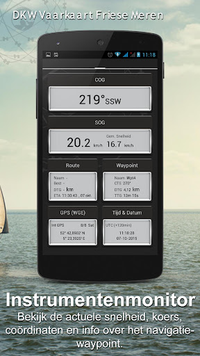
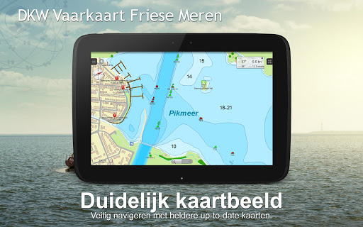
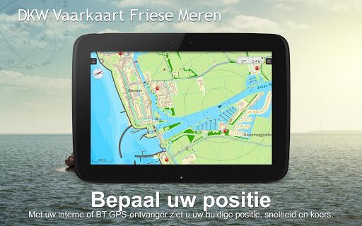
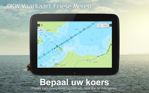
This is a detailed chart with a scale 1,3m/pixel. This comes down to about 1 : 5000 on the screen.
Depth view
With clear depth view from the Friese Meren Project in well colored depth areas on the lakes and depth numbers along the water ways. Developed by Stentec in cooperation with the province Fryslân based on the most recent depth measurements.
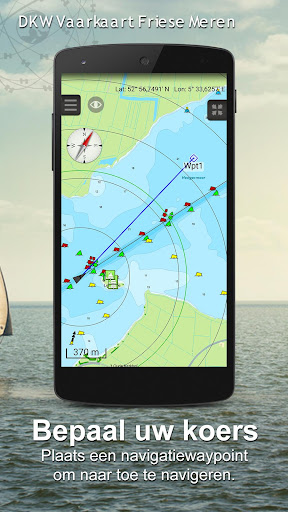
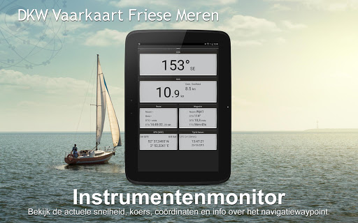
Waypoints
The included database contains 2345 waypoints divided in 13 groups. The 145 marinas show phone numbers and websites. Other groups are among others bouyage, mooring spots, campings and gas stations.
The accurate positioned bouyage contains the so called ‘slobbers’. These mark the protected bird area from 1 October to 1 May. Outside this period these are replaced by yellow regatta buoys.
Marrekrite 2014 natural mooring places are also included in the chart. You can easily see if camping is allowed (CAMP), if a container is present (CONT) or if you can moor (WAL).
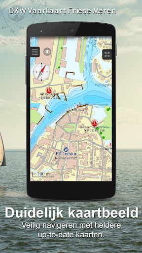
The bridges and locks along the water ways are shown with height and width so you can easily plan your route. The many aquaducts are also shown. Most bridges are operated daily from 1 May to 1 November from 9h-19h. In June, July and August even until 20h.
ADVERTISEMENT
Capturas de Pantalla